Neighborhoods · the Peninsula and beyond
Where JBLE families
actually live
Eight cities and counties around Fort Eustis and Langley. For each one: the official city site, the school division's own zone lookup, and the official crime data, so you can check for yourself.
Photo: U.S. Air Force photo by Tech. Sgt. Natasha Stannard
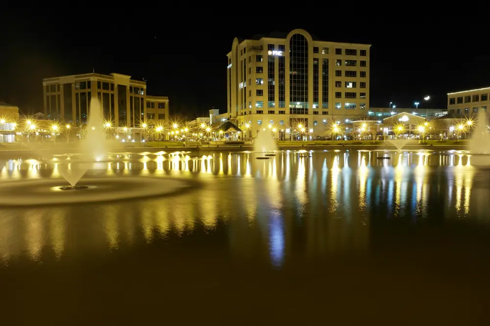
City · Fort Eustis is here (ZIP 23604)Newport News
Fort Eustis sits inside Newport News, and the on-post elementary school, General Stanford Elementary, is a Newport News Public Schools school.
Photo: “City Center at Oyster Point Night” by Aaron F. Stone, CC BY-SA 4.0 · Wikimedia Commons
- Official site
- nnva.gov ↗
- Schools: look up by address
- Newport News Public Schools · Zone Finder ↗
- Crime data (official)
- NNPD city-wide crime statistics ↗
- Ask about this area
- Ask Cheyenne Bouyea →
City · Langley is here (ZIP 23665)Hampton
JBLE-Langley sits inside Hampton, along with downtown on the Hampton River, Phoebus, and Buckroe Beach on the Chesapeake Bay.
Photo: “Hampton Institute as seen from the Darling Bridge in Hampton” by Douglas W. Reynolds, CC BY-SA 4.0 · Wikimedia Commons
- Official site
- hampton.gov ↗
- Schools: look up by address
- Hampton City Schools · Bus Stops & Zones ↗
- Crime data (official)
- Hampton Police Open Data (crime map) ↗
- Ask about this area
- Ask Cheyenne Bouyea →
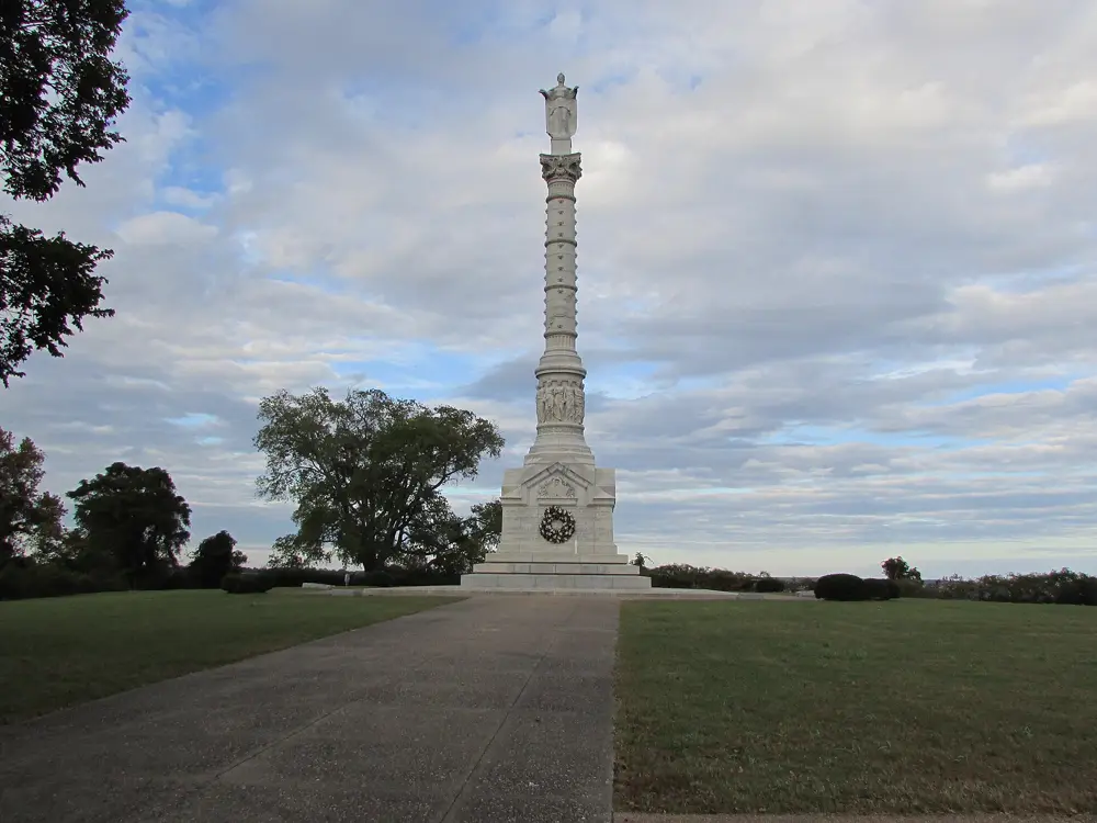
County · Yorktown, Grafton, TabbYorktown · York County
York County takes in Yorktown, Grafton and Tabb, between the two installations on the York River side of the Peninsula.
Photo: “Yorktown Victory Monument 1” by DrStew82, CC BY-SA 4.0 · Wikimedia Commons
- Official site
- yorkcounty.gov ↗
- Schools: look up by address
- York County School Division · Find Your School ↗
- Crime data (official)
- York-Poquoson Sheriff's Office (annual reports) ↗
- Ask about this area
- Ask Cheyenne Bouyea →
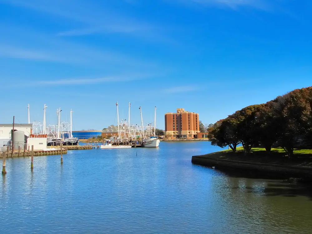
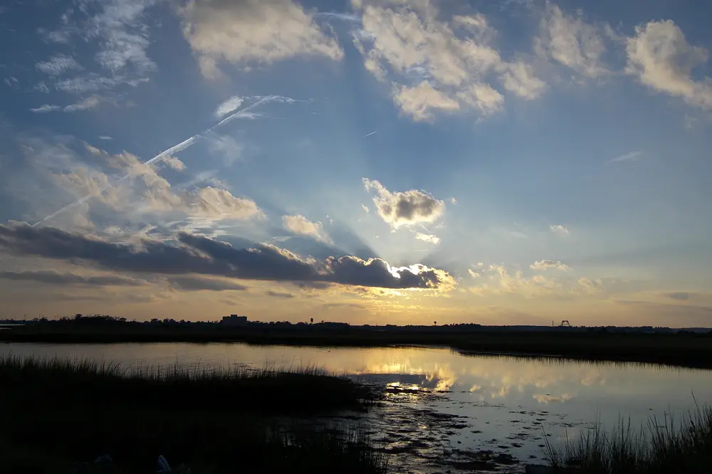
Small independent city on the waterPoquoson
A small city surrounded by marsh and water. Its school division runs four schools: Primary, Elementary, Middle and High, and has a Military Families page.
Photo: “Sunset near Poquoson” by Yangiskan, CC BY-SA 3.0 · Wikimedia Commons
- Official site
- poquoson-va.gov ↗
- Schools: look up by address
- Poquoson City Public Schools · Military Families ↗
- Crime data (official)
- Virginia State Police crime portal ↗
- Ask about this area
- Ask Cheyenne Bouyea →
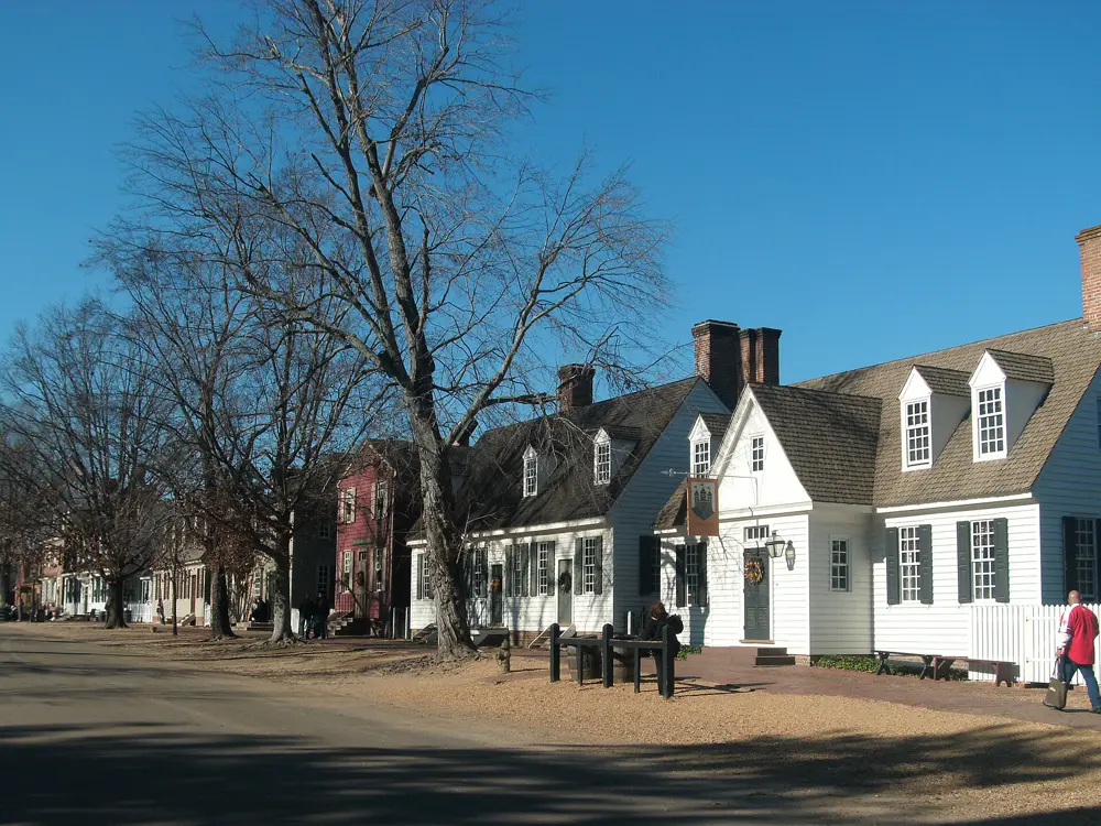
City · Colonial WilliamsburgWilliamsburg
Home of Colonial Williamsburg and William & Mary. Schools are shared with James City County through WJCC, which is redrawing its zones.
Photo: “Colonial Williamsburg (December, 2011) - DOG Street at Christmastime” by AlbertHerring, CC BY-SA 3.0 · Wikimedia Commons
- Official site
- williamsburgva.gov ↗
- Schools: look up by address
- WJCC Schools · Zones & Hours ↗
WJCC is redistricting: board action Oct 20, 2026, new zones take effect Aug 2027. Any zone shown now may change.
- Crime data (official)
- Williamsburg PD crime statistics ↗
- Ask about this area
- Ask Cheyenne Bouyea →
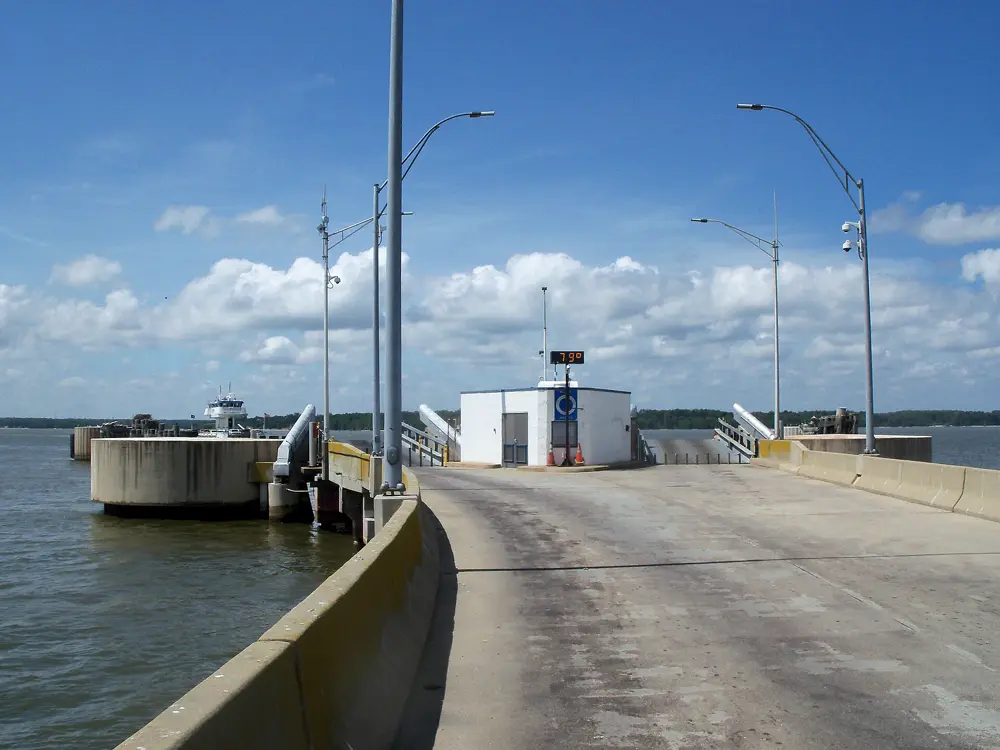
County · Jamestown, ToanoJames City County
The county around Williamsburg, from Jamestown and the Jamestown-Scotland ferry up to Toano. Same WJCC school division, same redistricting.
Photo: “Scotland-Jamestown Ferry - panoramio” by Idawriter, CC BY-SA 3.0 · Wikimedia Commons
- Official site
- jamescitycountyva.gov ↗
- Schools: look up by address
- WJCC Schools · Zones & Hours ↗
WJCC is redistricting: board action Oct 20, 2026, new zones take effect Aug 2027. Any zone shown now may change.
- Crime data (official)
- James City County Police ↗
- Ask about this area
- Ask Cheyenne Bouyea →
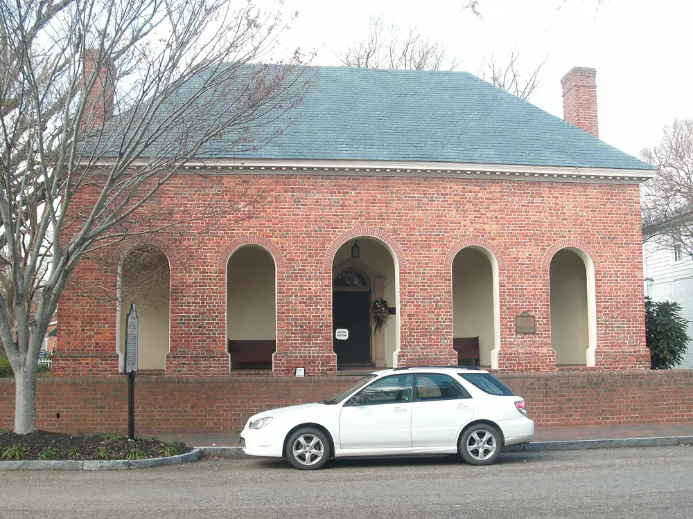
County across the JamesSmithfield · Isle of Wight
Across the James River from the Peninsula: the Town of Smithfield and Carrollton in Isle of Wight County.
Photo: “Old Isle of Wight Courthouse - exterior” by AlbertHerring, CC BY-SA 3.0 · Wikimedia Commons
- Official site
- isleofwight.gov ↗
- Schools: look up by address
- Isle of Wight County Schools · Attendance Zones ↗
- Crime data (official)
- Virginia State Police crime portal ↗
- Ask about this area
- Ask Cheyenne Bouyea →
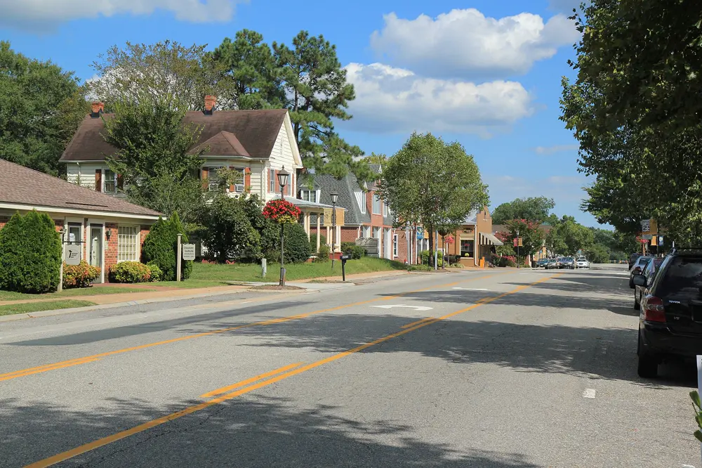
County across the YorkGloucester
North across the York River via the Coleman Bridge: Gloucester Courthouse and Gloucester Point.
Photo: “Gloucester va courthouse region 1” by Matthew W. King, CC BY-SA 4.0 · Wikimedia Commons
- Official site
- gloucesterva.gov ↗
- Schools: look up by address
- Gloucester County Public Schools · Registration ↗
- Crime data (official)
- Virginia State Police crime portal ↗
- Ask about this area
- Ask Cheyenne Bouyea →
No area is described as safe or unsafe here. Check the official data yourself: FBI Crime Data Explorer · Virginia State Police crime portal. Commute times on the Peninsula depend heavily on traffic, bridges and tunnels: check a map at the hour you'll drive.